eemsreno
Well-Known Member
Founding Member
2011 Site Supporter
2012 Site Supporter
2013 Site Supporter
2014 Site Supporter
Before I get back to the report tonight I want to thank all of you for your nice comments, and I hope you enjoy the rest of the story. Nice to hear from you again Chadx.
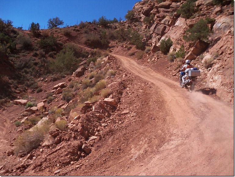
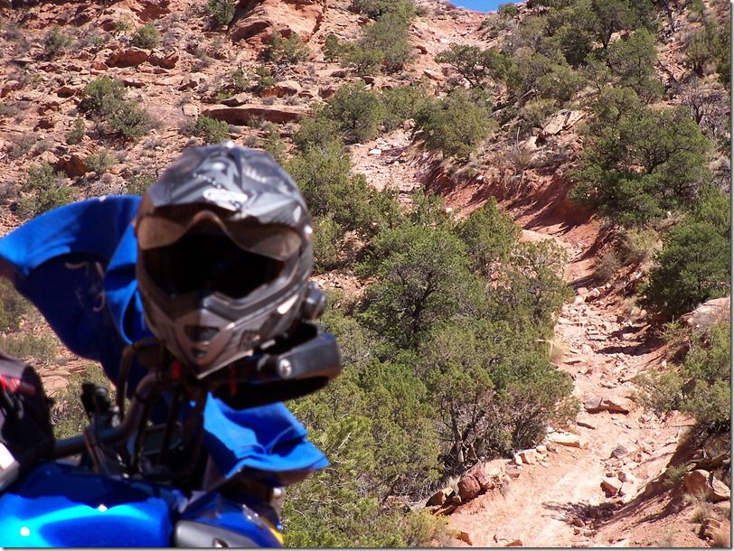
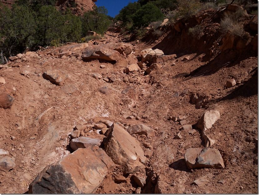
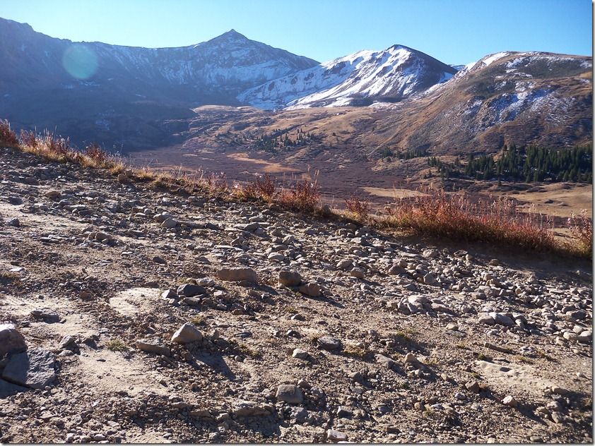
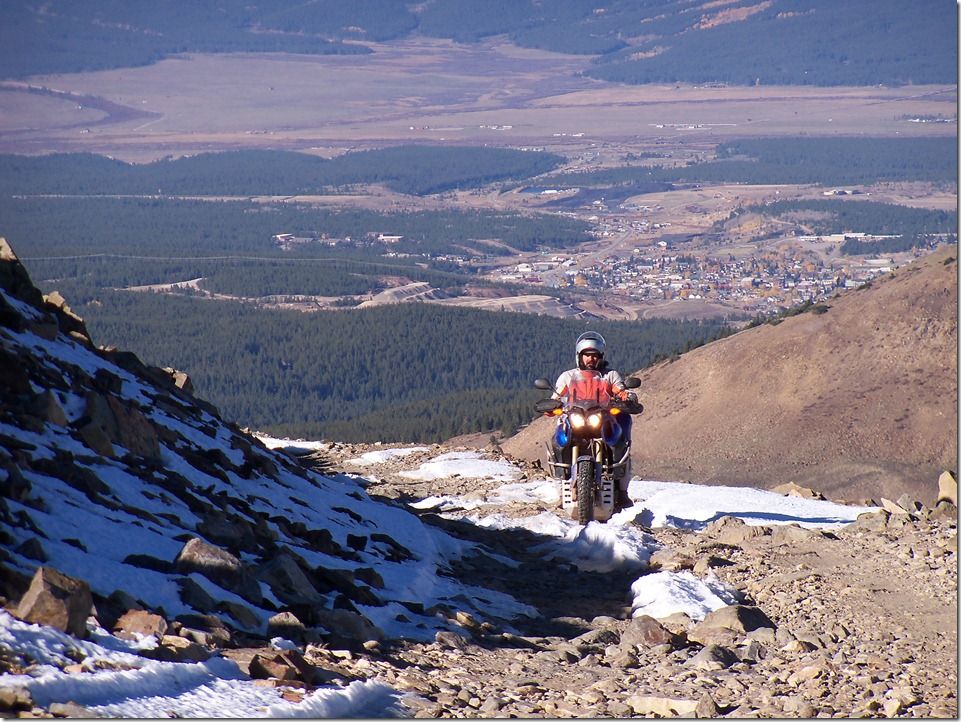
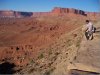
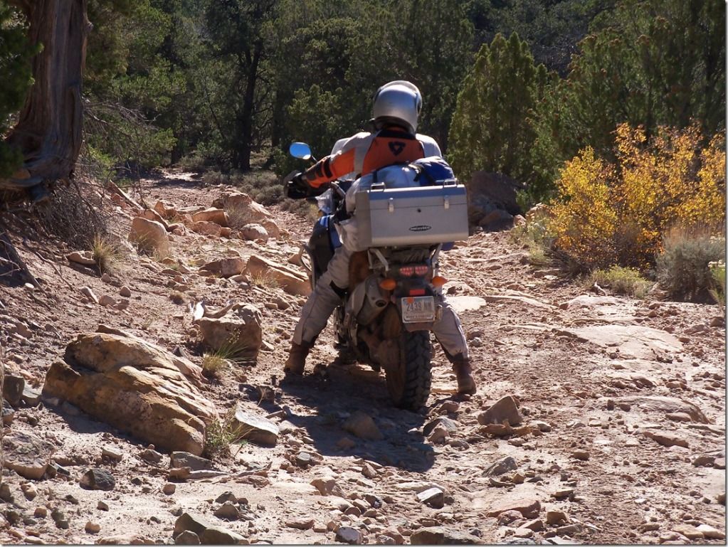
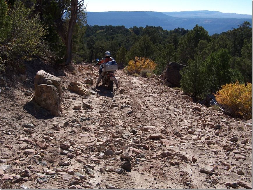
When we got up in the morning we got out the new topo map and studied it to find a loop route up to the Dewey Bridge. The trail map is marked with easy, moderate, difficulty, and double difficult symbols on the map. We seen there was a difficult section in our route and was anxious to see what it looked like.
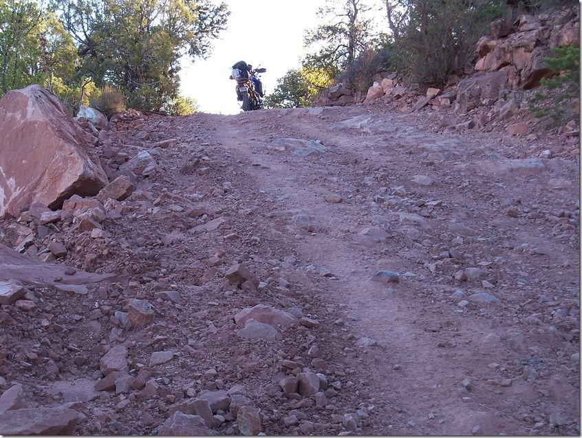
It wasn't long before things didn't start adding up right in our minds about the road we were on.
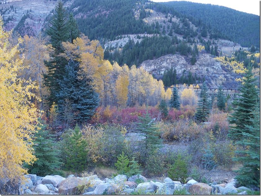
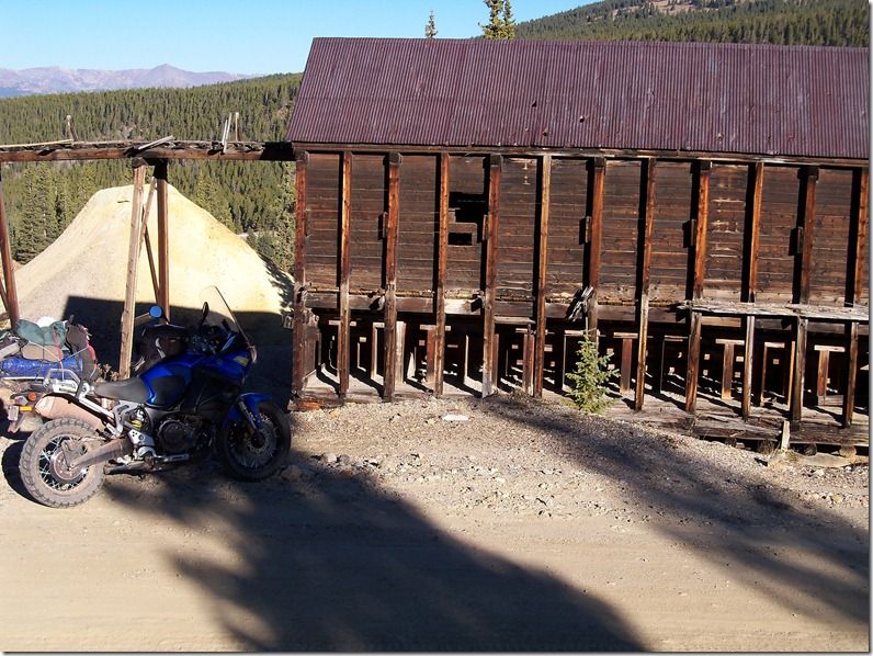
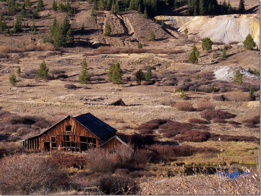
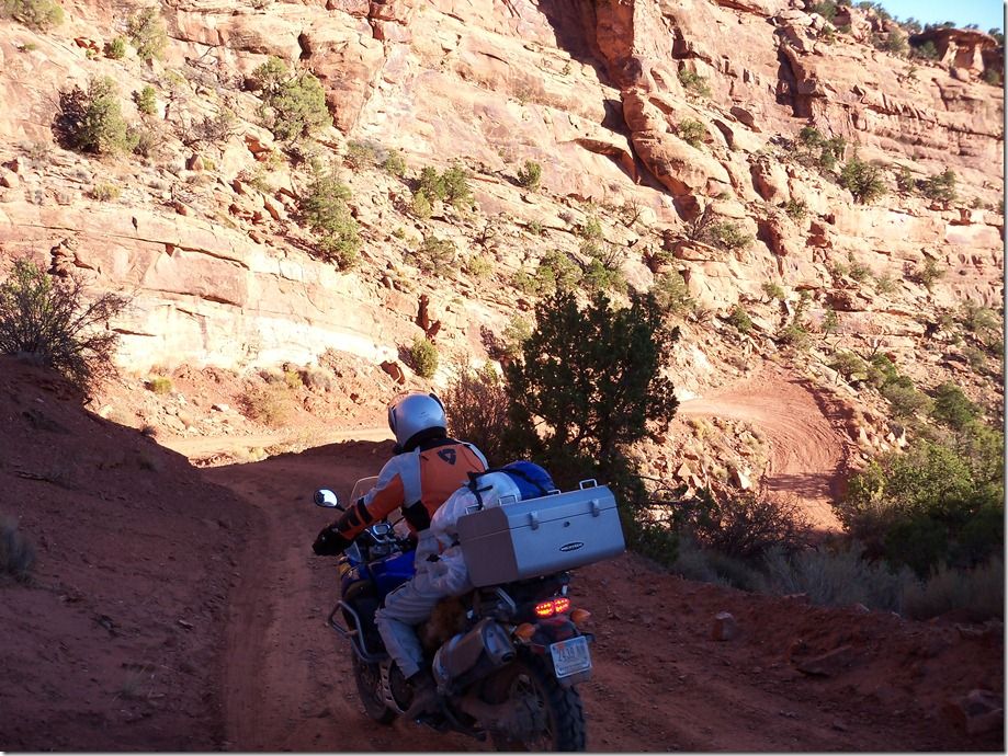
The good thing about intercoms is when you are lost you don't have to stop all the time to discuss your strategy and next plan, you can just talk about it as you ride along. We ended up being lost for most of the day and did a lot of strategy, planning, and communicating on the intercoms. While we were lost we went through an old mining district and had fun seeing what they left behind.
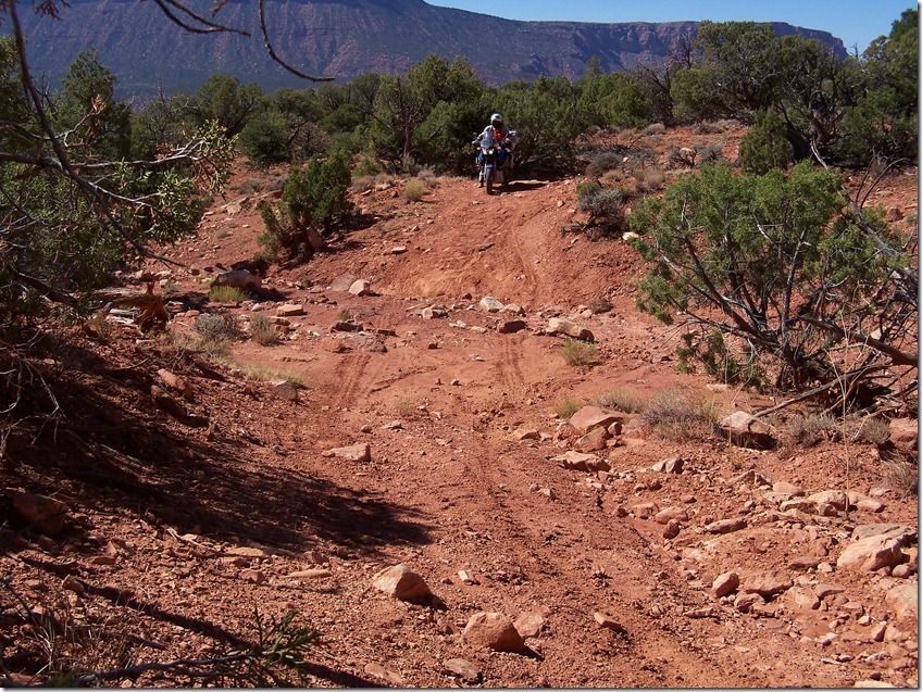
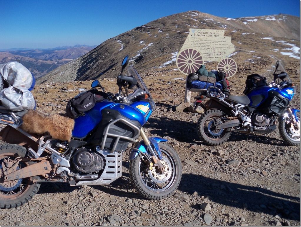
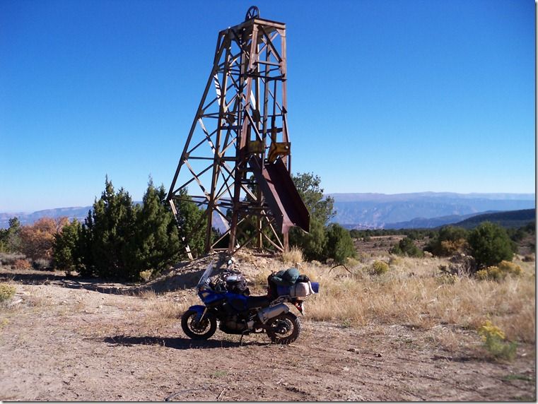
Once when we stopped for some water and snacks we got out the topo map and couldn't make any sense of where we were at on the map. Then Matt asked me what these little Y marks were on the topo map about 10" down on the map from where we thought we were. I told him that was the symbol for a mine on the map (MINE, we're down here). Well we sure had some back tracking to do but it was sure fun and scenic.
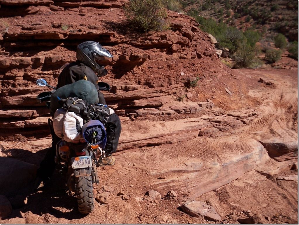
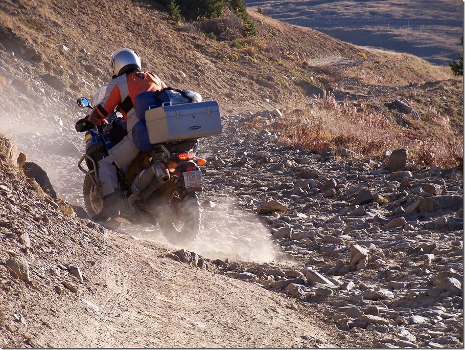
The only reason Matt's feet are down in these pictures is over the intercom I tell him when I need a Picture.
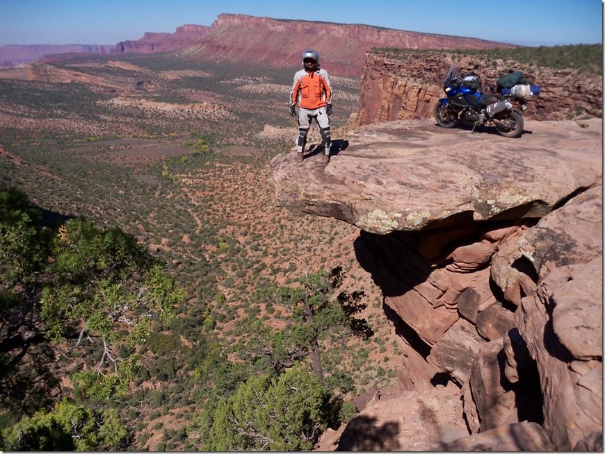
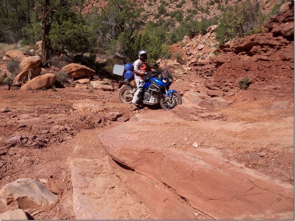
Then we came across this [Awesome Huh ]
When we got up in the morning we got out the new topo map and studied it to find a loop route up to the Dewey Bridge. The trail map is marked with easy, moderate, difficulty, and double difficult symbols on the map. We seen there was a difficult section in our route and was anxious to see what it looked like.
It wasn't long before things didn't start adding up right in our minds about the road we were on.
The good thing about intercoms is when you are lost you don't have to stop all the time to discuss your strategy and next plan, you can just talk about it as you ride along. We ended up being lost for most of the day and did a lot of strategy, planning, and communicating on the intercoms. While we were lost we went through an old mining district and had fun seeing what they left behind.
Once when we stopped for some water and snacks we got out the topo map and couldn't make any sense of where we were at on the map. Then Matt asked me what these little Y marks were on the topo map about 10" down on the map from where we thought we were. I told him that was the symbol for a mine on the map (MINE, we're down here). Well we sure had some back tracking to do but it was sure fun and scenic.
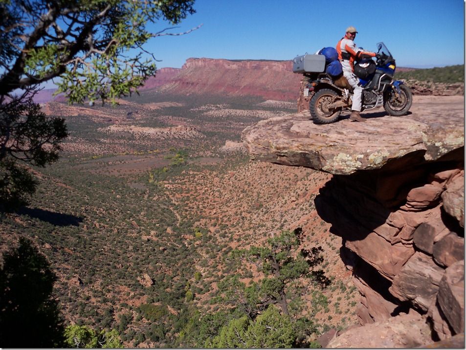
The only reason Matt's feet are down in these pictures is over the intercom I tell him when I need a Picture.
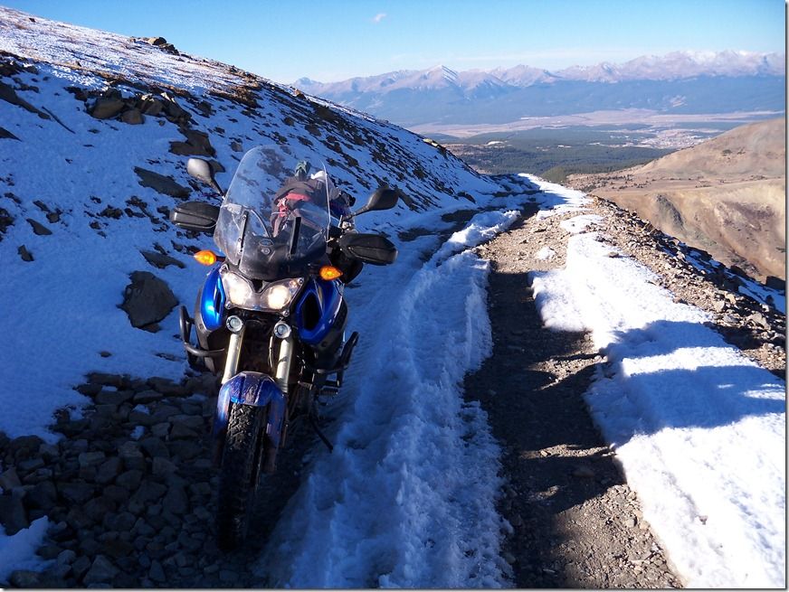
Then we came across this [Awesome Huh ]